 (277KB GIF)
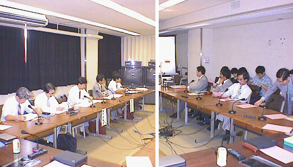
Special members (left) and CRL members (right) atttended the ninth TDC meeting held at the headquaters of Communications Research Laboratory on September 13, 1996.
Return to CONTENTS
The Ninth meeting of the Technical Development Center was held on September 13, 1996 at the conference room of Communications Research Laboratory.
During this year, there was restructuring of the VLBI organization in IERS. There were 14 proposals from 10 countries for the Call for Proposals for VLBI participation in IERS.
The Communications Research Laboratory had proposed to continue as a technological development center. This proposal was formally accepted by the Directing Board of IERS in September, 1996. The US National Earth Orientation Service (NEOS) was selected as the IERS VLBI Coordinating Center, with Dr. Chopo Ma as representative in the Directing Board.
Budgetary request for VERA for next fiscal year (1997) could not be proposed to the ministry of finance. Therefore a new task team consisting of represenatives from VSOP, VERA and RISE group will be formed for promoting VERA. Concrete partnership with universities and RFP (Request for Proposal) must be clarified to promote VERA.
Launch schedule of VSOP was postponed from September, 1996 to January or February, 1997. The FX correlator at Mitaka started processing, and 24-hour-operation in a day and 10 stations simultaneous processing became possible. Correlation results are being tested through comparisons with data processed by the correlator NAOCO which is already in operation.
A relay satellite and a laser altimeter will be added to the RISE project, in addition to a delta VLBI mission using a lunar lander and a moon orbiter. The number of staff members at NAO/Mizusawa dedicated to each project is as follows: 10 for VERA, 16 for VSOP, 2 for RISE, and 3 for others.
Seven years have passed since NAO was establised. We hope to establish a space measuring section which combines a VSOP group and an earth rotation group in the 2nd stage of future plan that will start from the 10th aniversary of NAO (three years later). Frequent personnel exchanges among Mizusawa, Mitaka, and Nobeyama area are also planned.
Fixed SLR has been operated over 10 years at Shimosato. The observation schedule is becoming denser, because the number of satellites is increasing. Tracking of RIS of ADEOS will be started from October. Portable type SLR, whose purpose is to measure the first-order control point, was operated from January to March, 1996 at Choshi which is the 14th point, numbering from Chichijima Island measured in 1988. Choshi was also the last point planned to be measured. Second round of measurements begins this fiscal year. The order of measurement will be Chichijima Island, Ishigakijima Island, Minamitorishima Island, then Wakkanai. Though upgrade of the SLR system is strongly desired, it is difficult due to budgetary reasons.
Continuous GPS measurements are carried out at 7 points (Sagami Bay, Shimosato, Okayama, etc.).
Test operation of D-GPS (1.5-2 m accuracy) developed by the Aids to Navigation Department is carried out this fiscal year. It will be operated for practical use since next fiscal year. Hydrographic Department plans to make geodetic observations using reference stations of D-GPS.
IGS pilot project which measures positions of GPS stations in the ITRF coordinate system was started. A 32m antenna dedicated for VLBI will be constructed at Tsukuba, and it will be operational in March, 1998. An accuracy of 2-3 mm in absolute satellite position is required for the SAR analysis. He therefore expressed great expectations for SLR system being developed under KSP project because it is designed to be able to measure SAR satellite position with this accuracy. He also proposed the possiblity of the calibration of SAR data by using Japanese VLBI antennas as ground targets of SAR observations because those positions are well determined through repeated VLBI observations.
Equipments necessary for VLBI will be shipped to Syowa Station, Antarctica next year (Nov. 1997) by the 39th Japanese Antarctic Research Expedition (JARE-39). Each equipment test has been started using the 5 m antenna at GSI when available. Antarctic campaigns are planned from February, 1998, with probable participation of the Australia, South Africa, and the Chilean Antarctic-station antennas. The campaign will include an S2 recording system, and correlator processing with different systems is yet to be discussed and solved.
Regarding other topics,
(1) A DORIS beacon and a superconducting gravimeter have been operating properly,
(2) 2 years' continuous GPS data was recorded with a TurboRogue system on the site, although data transmission was limited to every 10 days' data,
(3) PRARE ground station for orbit determination of ERS-2 will be shipped to Syowa Station this November,
(4) ERS-1/-2 SAR Tandem Mission over Antarctica received 70-pass pairs, and covered 1/3 of Antarctica for SAR interferometry.
The construction of facilities was started in 1993. Daily observations were started on the Kashima-Koganei baseline in January, 1995. Miura joined the daily observations in December, 1995. In September, 1996, daily observation by the full network of 4 stations (Kashima, Koganei, Miura, and Tateyama) was started. Unmanned observations are carried out at each station, except for the guard (operator) performing tape changes.
There was a question whether there was any trouble in the unmanned operation. He replied ``No trouble so far". In addition, there was an inquiery about the daily observation schedule. The answer was that presently the observation local time range is fixed for 5 hours from midnight through the early morning at present, as long as there are no special circumstances.
It has already succeeded in test operations. It was also used for fringe tests to check the system performance. The improvement of the software for stable operation is being made. An advantage of real-time VLBI is not only its immediacy but also the increased reliability by not using a recorder (mechanical equipment). Moreover, there is no difference in the specifications between a tape-based VLBI correlator and real-time one, because unification of the data was attempted from the point of view of the correlator.
There was a question regarding earth rotation parameters used in the real-time VLBI correlation processing. The answer was that the predicted values of IERS were used.
Why will it be developed for exclusive use with geodetic observations? The answer was that "exclusive use with geodetic observation" means that the correlator should measure group delay accurately. This is different from astronomical applications, which are mainly concerned with accurate fringe phase.
There were requests for the technical development as follows. Please consider comaptibility when the data aquisition system is developed, because it becames important in international VLBI experiments. Also develop an infrastructure that includes data transfer through satellites, which is necessary for a remote site as in the Antarctic.
In his report, the importance of achieving high sensitivity by extending the bandwidth under limited antenna diameter was indicated.
In addition, the recorded signal could be monitored on a TV display, since the equipment was developed on the basis of that for TV. Therefore an operator could check the system easily.
Following comment was given from a special member. Since the price of the K4 equipment does not drop, price might become a limiting factor for the popularization of this equipment. The gist of the discussion concerning this matter is as follows: the cost becomes almost equivalent to that for the VLBA recorder when peripheral equipment is included. A key to future popularity is the future price.
There was a comment that increased sensitivity is an important factor, and is not a wrong direction for technological development.
The importance of the consideration in the analysis of azimuth angle dependence of the water vapor content was indicated from the comparison of VLBI and GPS observations in cases where large anisotropy is seen in the neutral atmosphere. There was a question from a specialist: Why are highly precise geodetic observations expected from GPS meteorology? The answer includes two major points. One is improvement in the meteorological, while the other is the density of GPS observations.
Further comment was given by the reporter after the meeting as follows.
Information concerning water vapor with a high space-time resolution is indispensable for the compensation of the wet delay. At present, the only way to obtain this information is either to use radiosonde obseravtions, whose time resolution is 12 hours and space resolution is about 300 km, or to use radiometer data on board a satellite which observes the same ground point every several days. A highly dense GPS observation network may be able to realize water vapor observations with a high space-time resolution (horizontal 20km and about 10 minutes in time) which is never attainable by any other method. This is expected to make clear the mesoscale phenomena, and to improve numerical prediction models in meteorology. By applying an improved numerical model to compensation of wet delay, improvement in the accuracy of geodetic observations are expected.
Up to present time natural cosmic radio sources are major objects of the VLBI measurement. From now on artificial radio sources will become important objectives, because a number of space vehicles will be launched for the moon and for planets. As for the purposes, if it becomes possible to measure source position with an acuraccy of better than 10 micro arc second, measurement of star mass and fluctuations of standard coordinates system which is predicted by CRL theory group will be verified. It also becomes possible to make a 3-D map of our garaxy which is an important astronomy problem.
As for the divelopment directions, he stressed expectations as follows. Keeping the leading in the present state with respect to the immediacy like real-time VLBI, TDC/CRL should promote not only sensitivity improvement by expanding the band width but also other technological development, in particular higher precision to examine theoretical prediction.
After the conference a short inspection of SLR and VLBI facilities of the KSP
Koganei station was carried out.
(277KB GIF)
Special members (left) and CRL members (right)
atttended the ninth TDC meeting held at
the headquaters of Communications Research Laboratory on September 13, 1996.
Return to CONTENTS